↓
JAVASCRIPT IS DISABLED. Please enable JavaScript on your browser to best view this site.
Pell City Land Surveying
Search for:
Your First Choice for Land Surveying in Pell City, AL
Pell City Land Surveying
Home
ALTA Title Survey
Boundary Surveying
Civil Engineering
Construction Survey
Drone Surveying
Elevation Certificate
Land Surveying
Lot Survey
Topographic Survey | Topo Survey
Contact Us
Home
→
Elevation Certificate
→
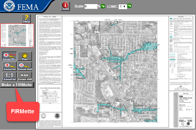
FEMA Flood Map Viewer
Image navigation
Next →
FEMA Flood Map Viewer
Published
January 10, 2018
at
681 × 451
in
Elevation Certificate
Image navigation
Next →
↑